Black and white radar satellite image of Beaufort Sea pack ice with bright ridges, smooth floes, and dark open leads.
Daily Vigil

Beaufort Ice Logic

Sea ice fractures into a language of bright ridges and dark leads at the edge of the Arctic watch.

June 23, 2026 Seen by Sentinel-1 Beaufort Sea pack ice
  • beautiful
  • strange
  • consequential

Why this was noticed

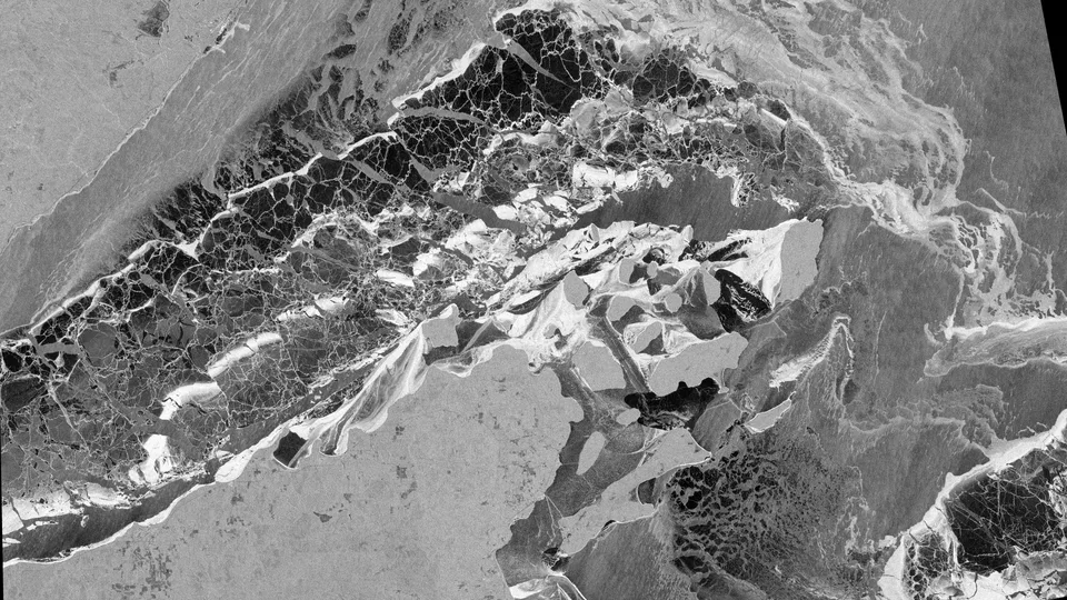
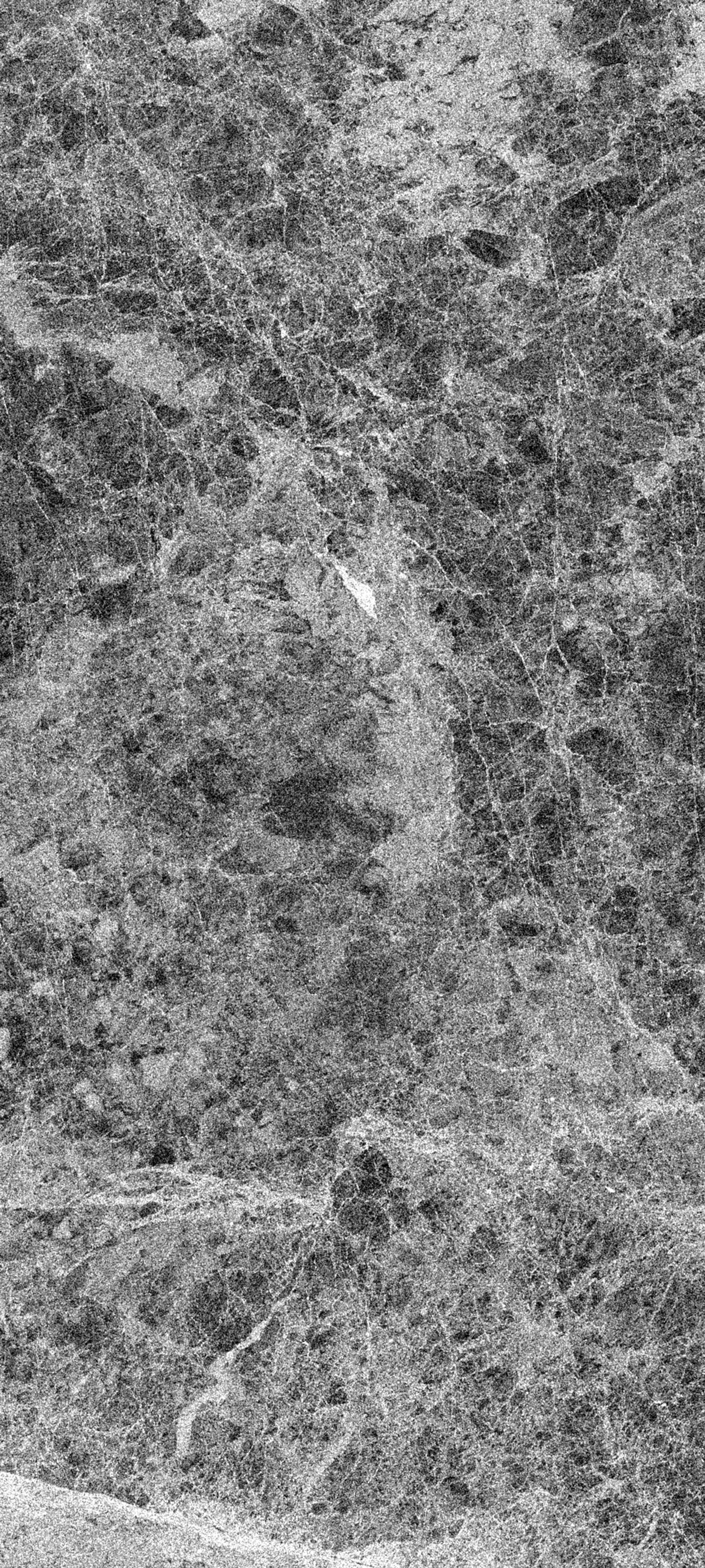
The Arctic pack is constantly moving, compacting, and opening. Radar is one of the most useful tools for watching that motion because it works through darkness and cloud. In this Beaufort Sea image, rough ridges brighten while smoother water and newly opened leads fall dark, creating a scene that feels almost drawn. Orbital Vigil selected it for its visual discipline and climate relevance.

Strong ridge texture, dark lead structure, and a clean high-latitude composition gave this image a high visual and methods-teaching score.

Published June 23, 2026 from an acquisition on April 9, 2026.

Map

Beaufort Sea pack ice

Selected frame Center

Beaufort Sea, Arctic Ocean

Data recipe

Acquired
April 9, 2026 at 16:42 UTC
Sensor
Sentinel-1 / S1A
Product
GRD from COPERNICUS/S1_GRD
Location
Beaufort Sea pack ice, Beaufort Sea
Center
71.0500, -148.8000
Bounding box
-151.2, 69.95, -146.4, 72.1
Bands
VV - Single-polarization VV backscatter rendered in decibels
Recipe
s1_vvdb_polar_ice_contrast_v1
Stretch
percentile, 0.8-99.2 percentile
False color
No
Processing notes
Texture contrast was tuned to reveal pressure ridges, smooth floes, and dark leads without crushing shadow detail.

Use this image

Sentinel 1 (ESA) data processed by www.orbitalvigil.com

For editorial use, include the attribution below and link to this page when possible.

Contact press

Attribution

Sentinel 1 (ESA) data processed by www.orbitalvigil.com

Use with attribution. Confirm original Copernicus terms for publication, resale, or derivative editorial packages.

Data source: Copernicus Sentinel data

From the watch

Related images