Recently Noticed
Chronological satellite image pages with permanent URLs, citation copy, data recipes, map context, and download buttons.
12 images shown
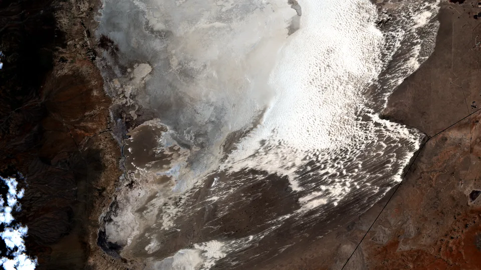
White Sands for the Fourth
New Mexico's gypsum dunes make a bright Independence Day stripe across the desert.
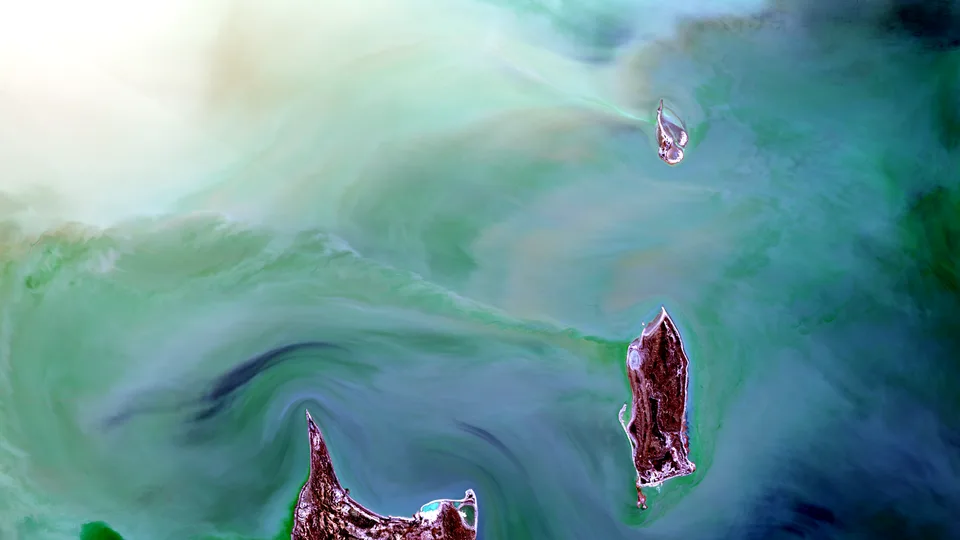
Kati Thanda's Inland Sea Returns
A rare flood pulse spreads green water across Australia's great salt basin.
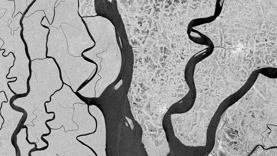
The Sundarbans in Radar Blackwater
Sentinel-1 turns tidal channels and mangrove islands on the Ganges-Brahmaputra-Meghna delta into a stark radar map.
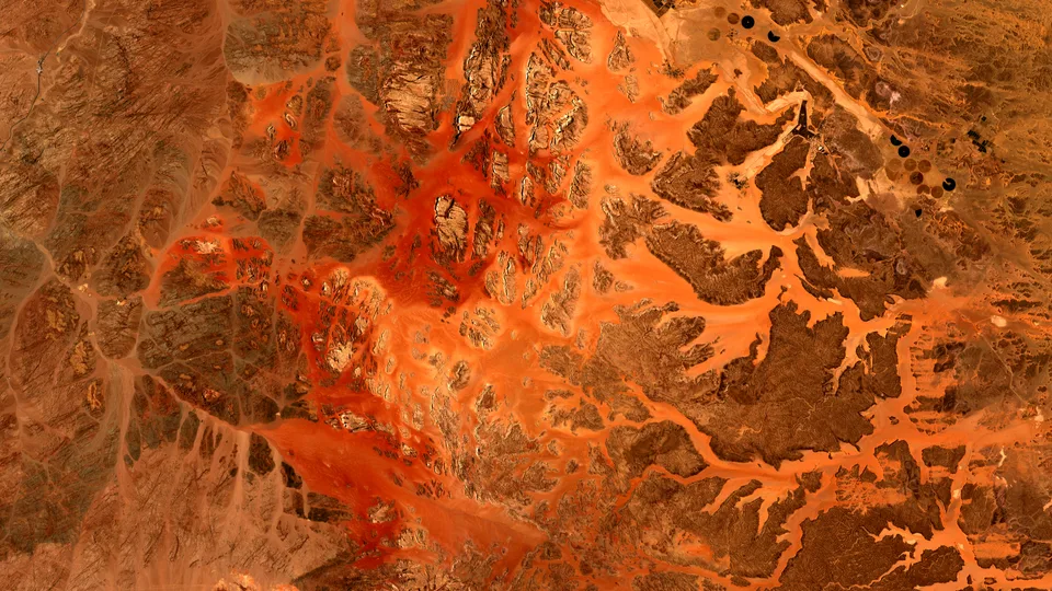
Wadi Rum's Red Rivers of Stone
A Sentinel-2 view turns Jordanian sandstone, pale wadis, and desert farms into a map of exposed time.
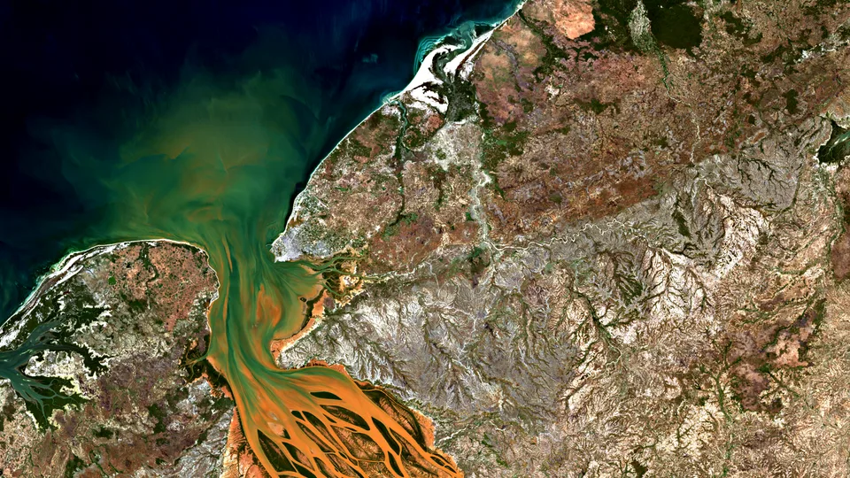
Betsiboka River Red Sediment
Madagascar’s northwest coast turns a river’s load into a visible record of land, tide, erosion, and estuary life.
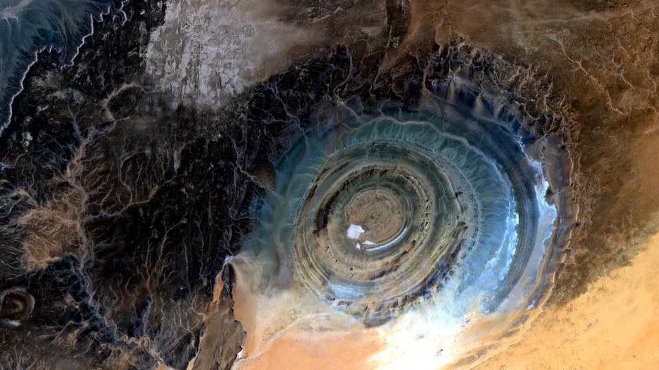
The Sahara Keeps a Ringed Record
In northern Mauritania, the Richat Structure turns deep geology into a visible pattern: concentric stone, desert wind, and erosion drawn in blue, gray, and gold.
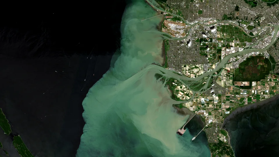
The Fraser River Draws Itself into the Sea
A bright sediment plume turns the meeting of river and ocean into a visible boundary, beautiful enough to hold attention and consequential enough to reward it.
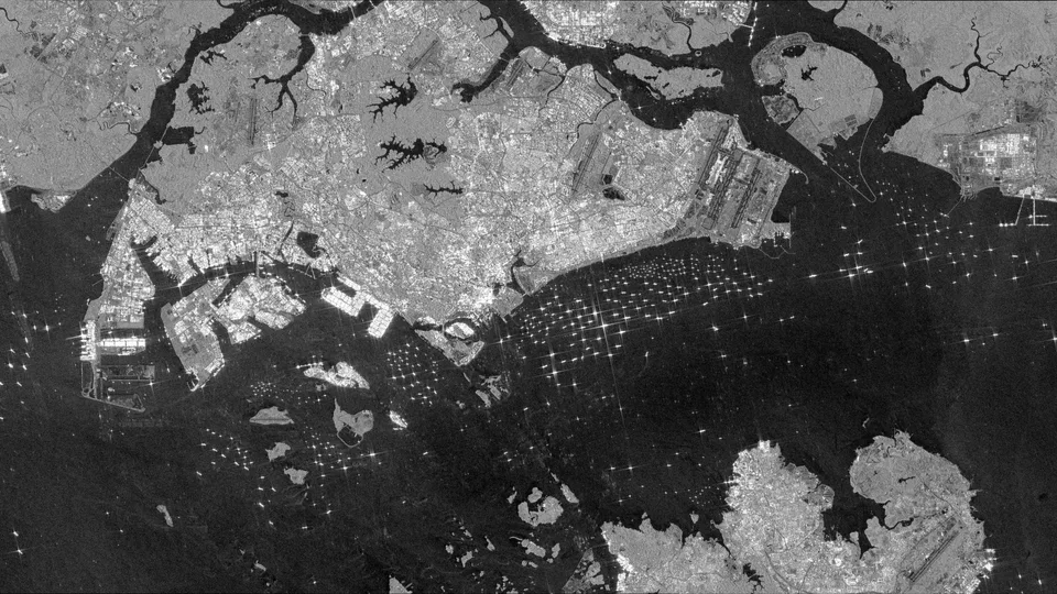
Ships in the Strait
Radar turns one of the busiest sea lanes on Earth into a field of bright needles and wakes.
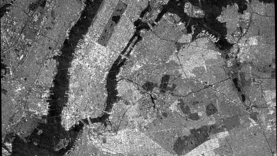
Manhattan by Radar
The island becomes a circuit board when radar looks past color and daylight.
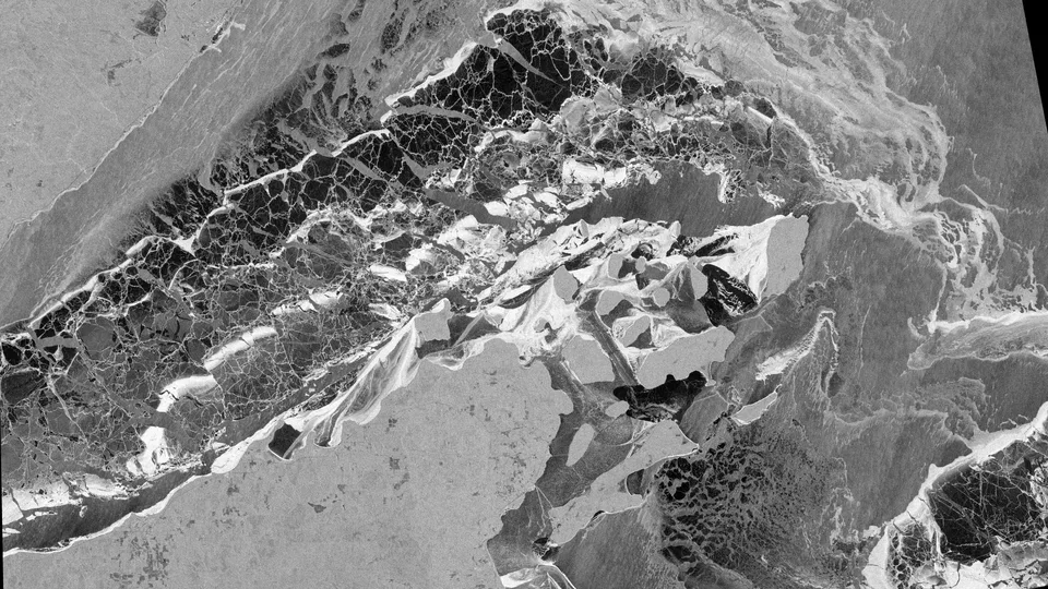
Ice Around the Apostles
Winter writes fracture lines around the Apostle Islands, and radar reads every rough edge.
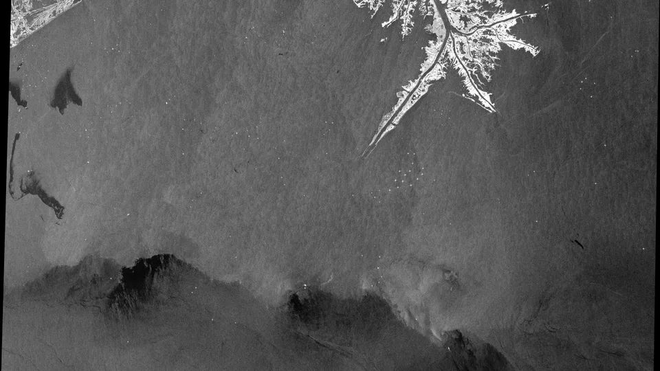
Slicks After the Storm
Radar sees the ocean where wind, weather, and surface film have gone unnervingly smooth.
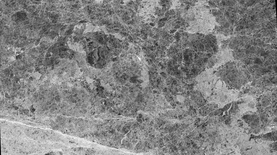
Beaufort Ice Logic
Sea ice fractures into a language of bright ridges and dark leads at the edge of the Arctic watch.
No images match those filters.