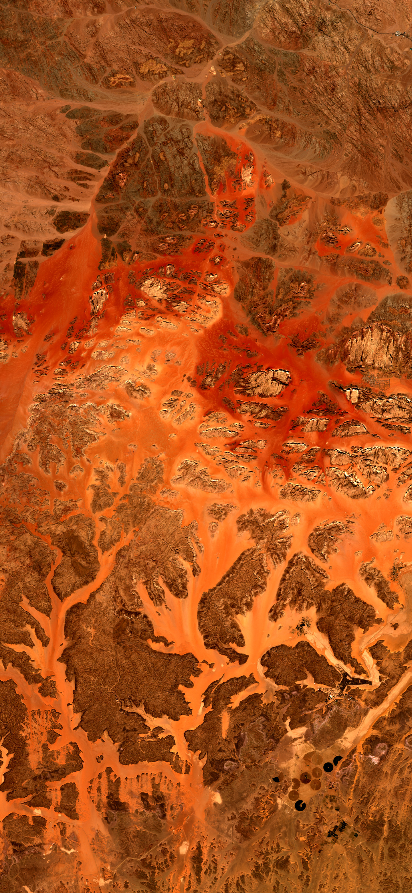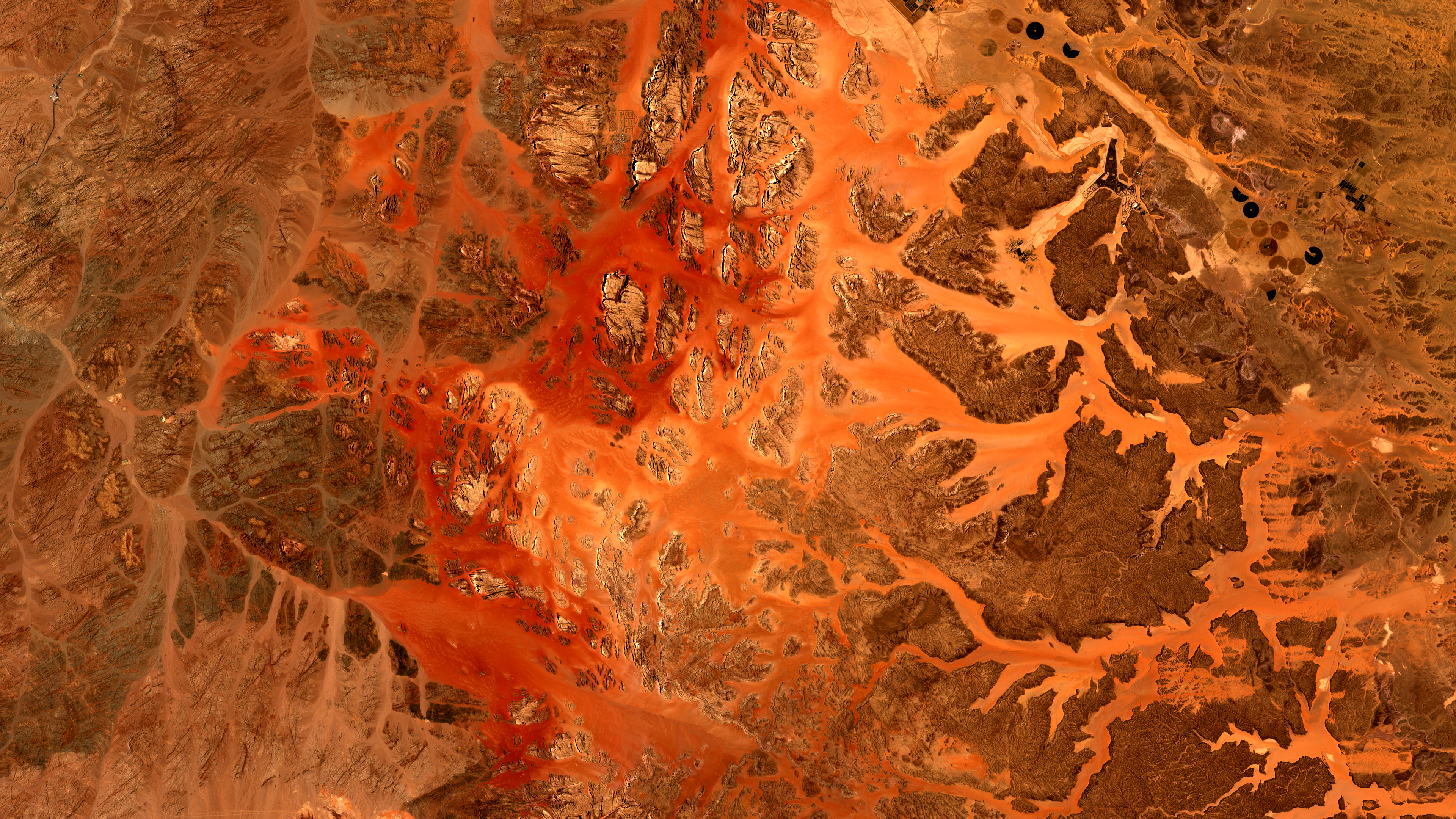
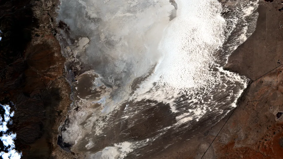
Satellite image of Wadi Rum showing reddish sandstone massifs, pale branching desert wadis, darker rock plateaus, roads, and small green agricultural plots.
Enhanced color
Daily Vigil

Wadi Rum's Red Rivers of Stone

A Sentinel-2 view turns Jordanian sandstone, pale wadis, and desert farms into a map of exposed time.

July 1, 2026 Seen by Sentinel-2 Wadi Rum
  • beautiful
  • strange

Why this was noticed

The assignment looked for a landform that could carry the day without relying on disaster or spectacle. Wadi Rum offered a compact field of sandstone massifs, pale drainage floors, road traces, and small green farms, all legible in one optical scene.

What we are looking at

The image shows Wadi Rum in southern Jordan, where red and tan sandstone rises out of broad desert floors. The pale branching corridors are wadis and sand-filled passages between darker rock masses; small agricultural plots and circular irrigated fields mark the human scale at the edge of the protected landscape.

Why it matters

UNESCO lists Wadi Rum as a mixed natural and cultural World Heritage site, noting its gorges, natural arches, cliffs, caverns, inscriptions, and archaeological remains. From orbit, the same landscape reads first as form: stone islands, dry channels, and the long memory of erosion.

Why Orbital Vigil selected it

The final image won because the subject is immediately visible and the frame has a strong internal rhythm. It is not the most urgent candidate in the July 1 run, but it is the clearest visual argument: a desert landscape whose structure can be understood before a caption explains it.

Uncertainty

This scene is presented as a landform and landscape selection, not as evidence of a new event or recent damage.

Published July 1, 2026 from an acquisition on June 23, 2026.
Map

Wadi Rum

Selected frame Center

Aqaba Governorate, Jordan

Data recipe

Acquired
June 23, 2026 at 08:16 UTC
Sensor
Sentinel-2 / Sentinel-2C
Product
sentinel-2-l2a from Copernicus Sentinel-2 L2A
Location
Wadi Rum, Aqaba Governorate
Center
29.4656, 35.4685
Bounding box
35.133626128200866, 29.29632744703659, 35.804383095114716, 29.634855379828647
Bands
B04 / B03 / B02 - Sentinel-2 natural color RGB: red B04, green B03, blue B02
Render mode
Enhanced color
Recipe
sentinel2_enhanced_rgb_publication_v1
Stretch
enhanced uniform RGB reference-base contrast and saturation lift, 1-99 percentile
False color
No
Reference render
/downloads/vigils/2026-07-01-wadi-rum-s-red-rivers-of-stone/natural-reference-3840x2160.png
Processing notes
Sentinel-2 L2A visible natural-color band mapping using red (B04), green (B03), and blue (B02). The primary publication image is enhanced RGB: display channels may be stretched or balanced independently for visual clarity, so it is not an unprocessed camera photograph. A same-crop uniform natural/reference render is provided.

Use this image

Sentinel 2 (ESA) data processed by www.orbitalvigil.com

For editorial use, include the attribution below and link to this page when possible.

Contact press

Attribution

Sentinel 2 (ESA) data processed by www.orbitalvigil.com

Use with attribution. Confirm original Copernicus terms for publication, resale, or derivative editorial packages.

Data source: Copernicus Sentinel data

From the watch

Related images