Black and white radar satellite image of Lake Superior ice around the Apostle Islands, showing textured ice fields and dark water.
Daily Vigil

Ice Around the Apostles

Winter writes fracture lines around the Apostle Islands, and radar reads every rough edge.

June 25, 2026 Seen by Sentinel-1 Apostle Islands, Lake Superior
  • beautiful
  • strange

Why this was noticed

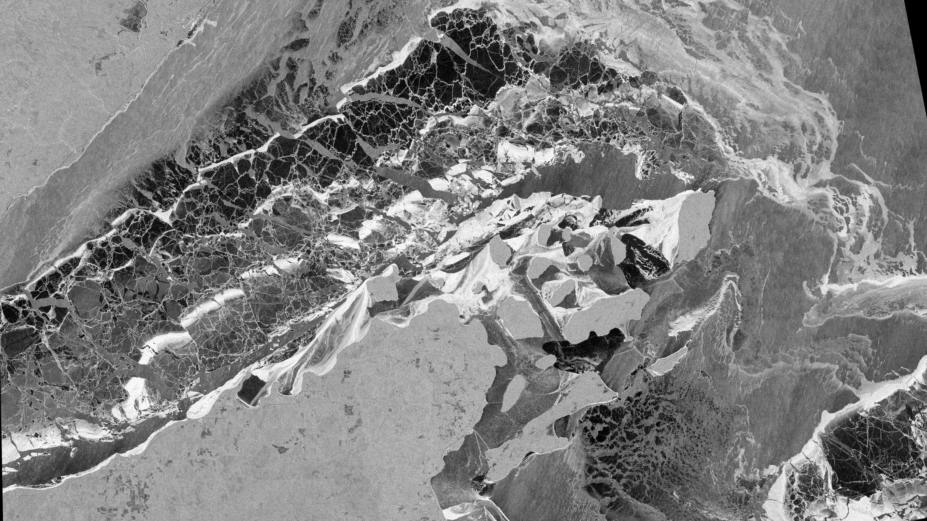
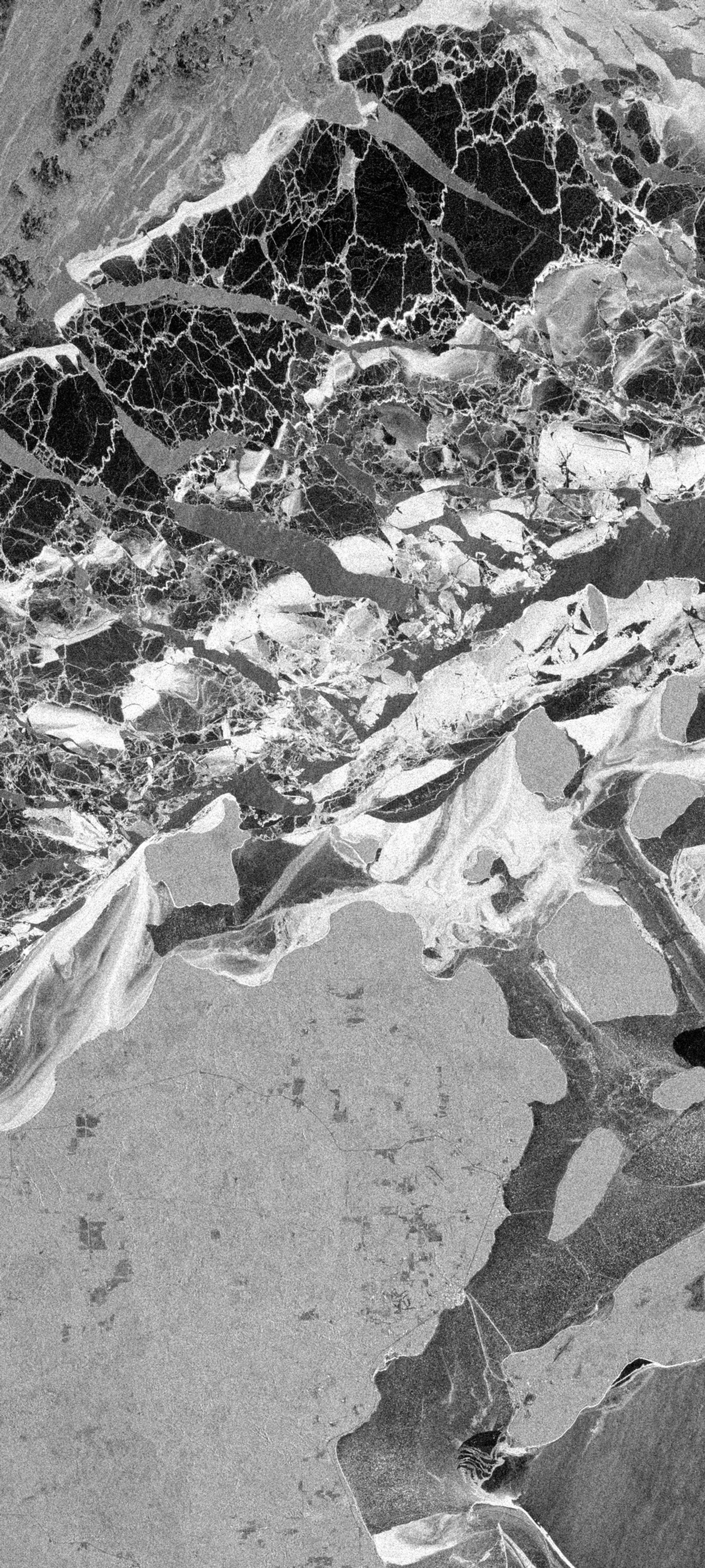
Lake ice is not one surface. In radar, it becomes a record of roughness, pressure, cracks, leads, and wind-polished water. Around the Apostle Islands, Sentinel-1 turns the winter lake into a dense monochrome drawing where islands anchor the scene and ice fields form quiet, broken geometry. Orbital Vigil selected it for the way it makes a seasonal condition look architectural.

Fine ice texture, clear island context, and a strong separation between dark water and rough ice made this an unusually readable Great Lakes SAR image.

Published June 25, 2026 from an acquisition on February 15, 2026.

Map

Apostle Islands, Lake Superior

Selected frame Center

Great Lakes, United States

Data recipe

Acquired
February 15, 2026 at 00:12 UTC
Sensor
Sentinel-1 / S1A
Product
GRD from COPERNICUS/S1_GRD
Location
Apostle Islands, Lake Superior, Great Lakes
Center
46.9800, -90.7300
Bounding box
-91.15, 46.65, -90.28, 47.32
Bands
VV - Single-polarization VV backscatter rendered in decibels
Recipe
s1_vvdb_lake_ice_texture_v1
Stretch
percentile, 1-98.8 percentile
False color
No
Processing notes
Low and midtone contrast were expanded to separate smooth water, rough ice, and island shorelines.

Use this image

Sentinel 1 (ESA) data processed by www.orbitalvigil.com

For editorial use, include the attribution below and link to this page when possible.

Contact press

Attribution

Sentinel 1 (ESA) data processed by www.orbitalvigil.com

Use with attribution. Confirm original Copernicus terms for publication, resale, or derivative editorial packages.

Data source: Copernicus Sentinel data

From the watch

Related images