Black and white radar satellite image of the Gulf of Mexico showing dark slick-like streaks across rougher gray water.
Daily Vigil

Slicks After the Storm

Radar sees the ocean where wind, weather, and surface film have gone unnervingly smooth.

June 24, 2026 Seen by Sentinel-1 Northern Gulf of Mexico
  • sad
  • consequential
  • terrifying

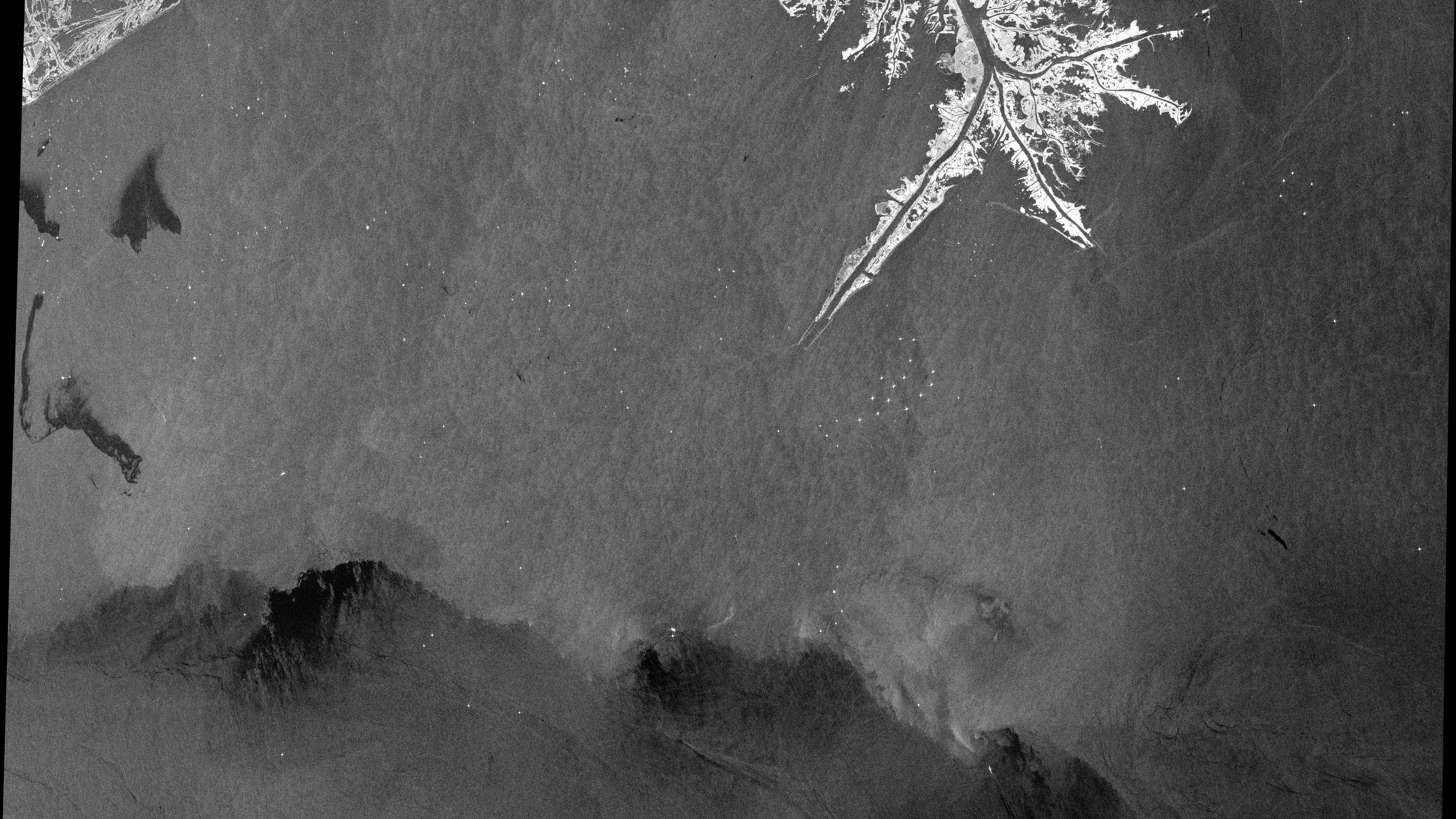
Why this was noticed

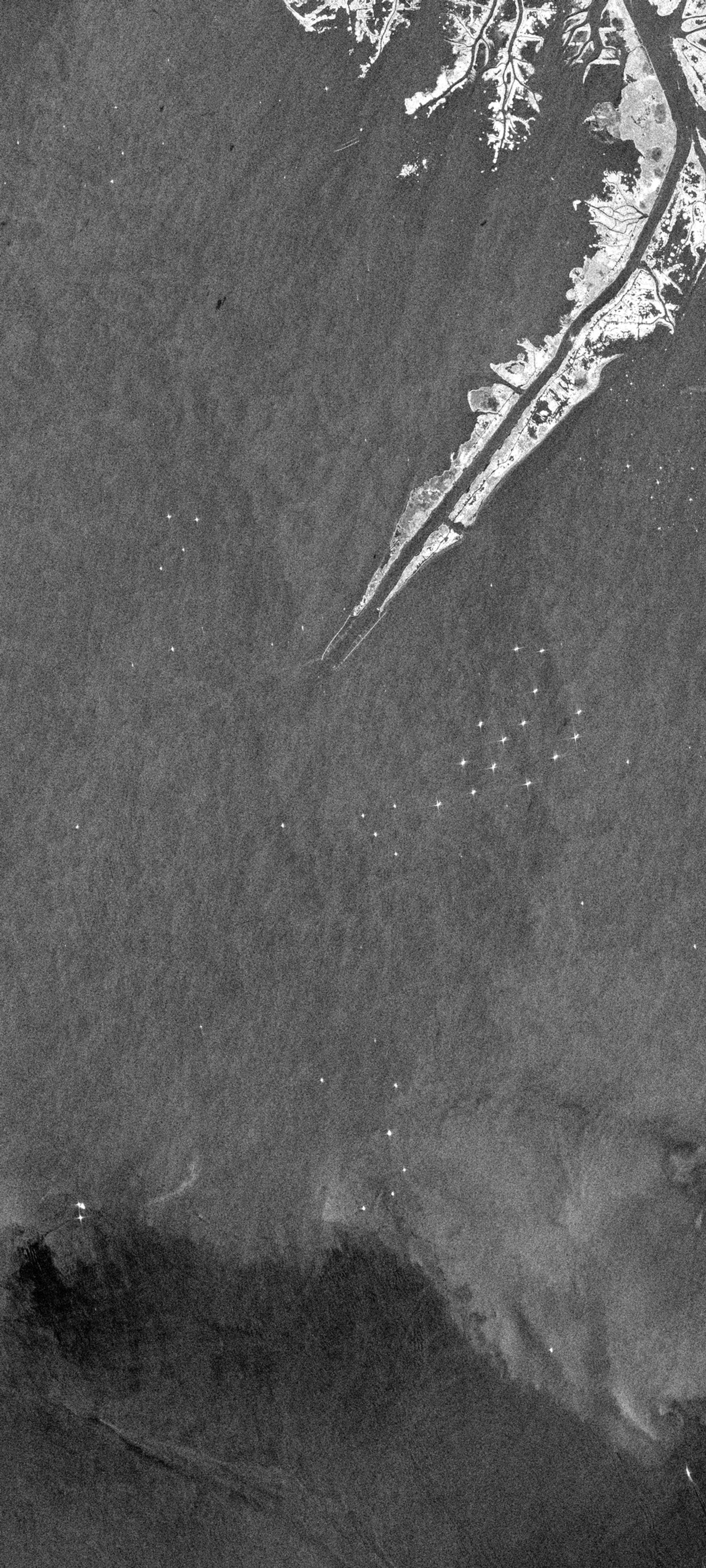
Oil and other surface films can dampen small wind-driven waves. In radar imagery, that smoother surface often appears darker than the surrounding ocean. This Gulf of Mexico scene was selected because the black tendrils are visually clear and editorially consequential, while still requiring careful language: radar can indicate slick-like surface damping, but attribution and source confirmation matter before calling every dark feature oil.

High-contrast dark filaments, storm context, and strong public-interest relevance pushed this scene into the archive.

Published June 24, 2026 from an acquisition on September 2, 2021.

Map

Northern Gulf of Mexico

Selected frame Center

Gulf of Mexico, United States

Data recipe

Acquired
September 2, 2021 at 00:04 UTC
Sensor
Sentinel-1 / S1A
Product
GRD from COPERNICUS/S1_GRD
Location
Northern Gulf of Mexico, Gulf of Mexico
Center
28.7200, -89.4300
Bounding box
-90.2, 28.15, -88.65, 29.25
Bands
VV - Single-polarization VV backscatter rendered in decibels
Recipe
s1_vvdb_oil_slick_dark_preserve_v1
Stretch
percentile, 0.2-99 percentile
False color
No
Processing notes
Dark slick-preserving stretch keeps low-backscatter surface films visible against surrounding rough water.

Use this image

Sentinel 1 (ESA) data processed by www.orbitalvigil.com

For editorial use, include the attribution below and link to this page when possible.

Contact press

Attribution

Sentinel 1 (ESA) data processed by www.orbitalvigil.com

Use with attribution. Confirm original Copernicus terms for publication, resale, or derivative editorial packages.

Data source: Copernicus Sentinel data

From the watch

Related images